Understand Your Property Before You Build
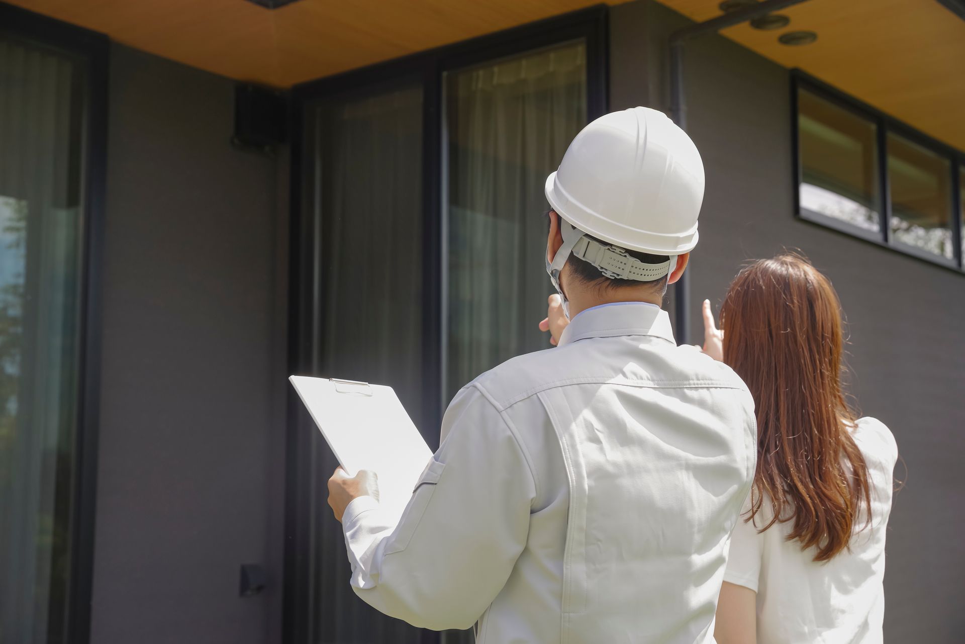
Residential Home Site Consulting in Florida and Alabama
When you're planning to build a home in Jacksonville and surrounding areas, the shape of the land determines more than just the view. Slopes, drainage patterns, and access routes all affect where the house can sit, how much grading you'll need, and what your foundation and driveway will cost. Aerial Metrology & Inspection uses LiDAR and survey-grade data to evaluate your site and provide buildability analysis before you commit to a design or break ground. You'll know where water flows, where cut-and-fill is required, and what placement options make the most sense for your budget and goals.
This service is for homeowners, builders, and architects who want pre-design insights based on real topographic data rather than assumptions. We assess slope conditions, calculate cut-and-fill volumes for different grading scenarios, and provide recommendations for home placement that minimize earthwork and site prep costs. The result is a report that helps your design team in Jacksonville and surrounding areas start with a plan that fits the land instead of fighting it.
If you're evaluating a lot or preparing to design a custom home, reach out to discuss how site analysis can save time and reduce construction costs.
What Site Evaluation Includes
Site evaluation begins with a drone flight or terrestrial scan that captures the topography of your property in detail. We process that data into a contour report and digital surface model, then analyze slopes, drainage paths, and access routes. For properties in Jacksonville and surrounding areas, we also identify low spots where water may collect and highlight areas where significant grading or retaining walls might be required to achieve a buildable pad.
Once the analysis is complete, you receive a report with grading recommendations, cut-and-fill volume estimates, and placement options for your home. You'll see what the site looks like now and what it will take to prepare it for construction. This helps architects design a foundation that works with the existing grade and gives builders a clear scope for site prep before they price the job.
Deliverables typically include a contour map, a summary of grading volumes, and annotated images or diagrams showing recommended home placement. This service does not include geotechnical testing, permitting assistance, or final engineering—it provides the data and insights you need to move forward with informed decisions.
Questions Homeowners and Builders Ask
Most clients want to know what site consulting reveals and how early in the process it should happen.
What if I need a licensed survey?
We are fully licensed to provide all survey requirements in Florida. Florida Business License Number: LB8710.
If you're planning to build a home in Jacksonville and surrounding areas and want to understand your site conditions before committing to a design, Aerial Metrology & Inspection can provide the data and recommendations that reduce surprises and keep your project on budget. Contact us to schedule a site visit and receive your buildability report.
