Bathymetric Mapping with Echosounder Technology
Hydrographic Surveying in Florida for underwater terrain documentation required by marine construction, cable landings, and navigation channel projects
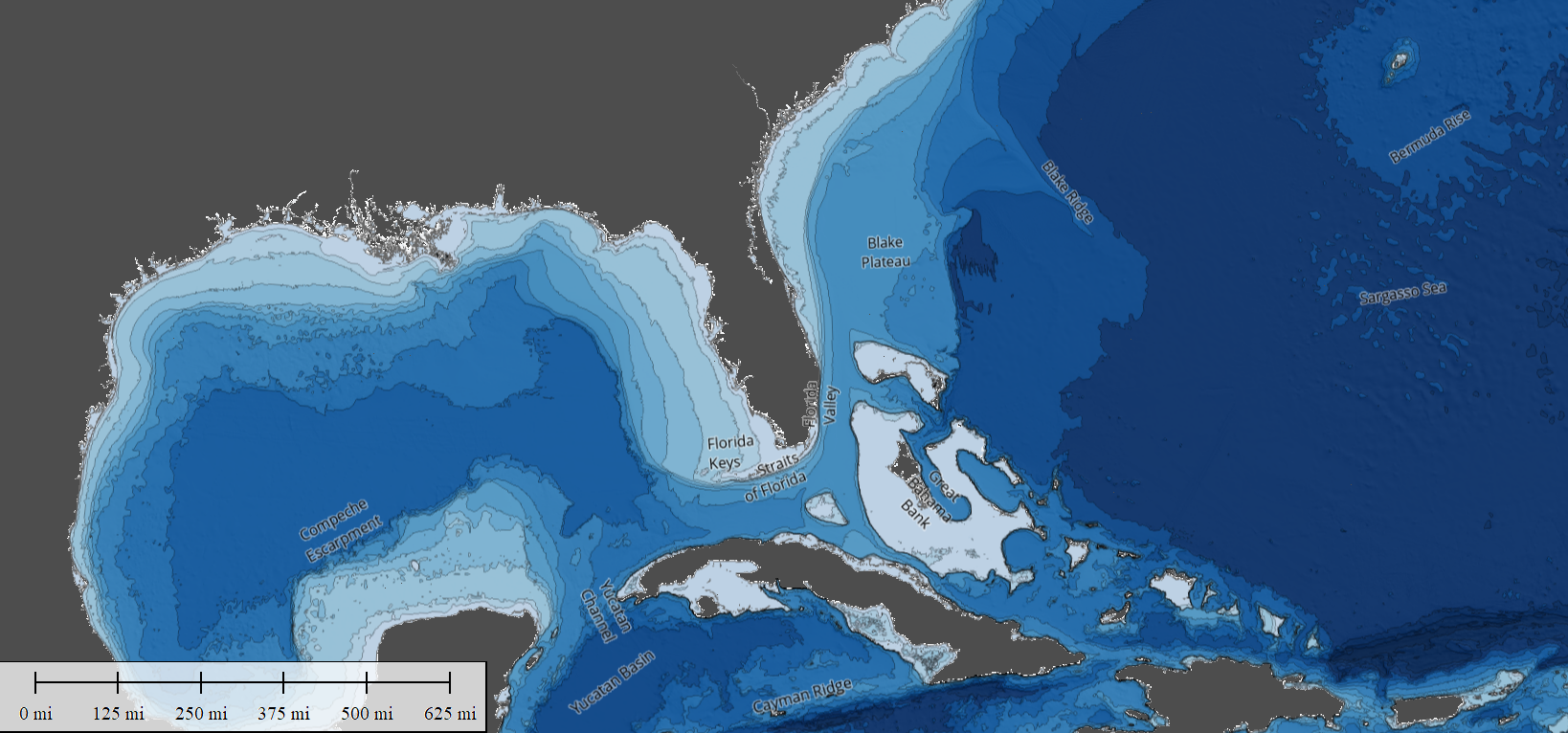
Aerial Metrology & Inspection performs hydrographic surveys using single-beam and multibeam echosounder systems to map underwater terrain for projects involving telecommunication infrastructure, marina development, and navigation channel maintenance across Florida. If you are planning a fiber-optic cable landing, designing a dock facility, or assessing sediment accumulation in a shipping channel, you need accurate bathymetric data that defines the shape and depth of the seafloor, riverbed, or lake bottom where work will occur.
Multibeam echosounders emit sonar pulses across a wide swath, capturing thousands of depth measurements per second to produce high-resolution three-dimensional models of the underwater surface. Single-beam systems provide depth profiles along specific transect lines, suitable for smaller areas or projects with limited budgets. Both methods integrate with GPS positioning to ensure that every depth measurement ties to a known horizontal location, allowing the survey data to be combined with terrestrial topographic surveys into a single continuous elevation model that spans from dry land into submerged areas.
Inquire about our hydrographic services to discuss sensor selection, survey coverage, and deliverable formats that match your project requirements.
Applications for Bathymetric Data in Marine and Inland Projects
You use hydrographic survey data to plan the route for a fiber-optic telecommunication cable approaching shore, identifying rock outcrops, steep slopes, and soft sediment zones that affect trenching methods and cable protection. Diver swim surveys combine sonar mapping with direct underwater inspection, documenting existing structures, debris, and habitat features that require removal or avoidance during construction. Marina designers rely on bathymetric contours to determine where dredging is necessary to achieve required berthing depths and to position approach channels that accommodate vessel draft.
Navigation channels accumulate sediment over time, reducing depth and creating hazards for commercial and recreational vessels. Repeat hydrographic surveys measure sediment deposition rates and identify areas that require dredging to maintain safe passage. Aerial Metrology & Inspection delivers bathymetric data in formats compatible with AutoCAD, GIS platforms, and hydrodynamic modeling software, allowing engineers and environmental consultants to integrate underwater terrain into broader site analysis and design work.
When combined with terrestrial topographic data, the result is a seamless elevation model that shows both the shoreline transition and the full extent of underwater slopes, enabling accurate volume calculations for dredging projects and realistic visualization for permit applications. The data supports safe construction planning by revealing submerged hazards and informing decisions about equipment access, anchoring locations, and staging areas.
Key Considerations for Hydrographic Survey Projects
Marine survey work in Florida involves tidal fluctuations, equipment calibration, and coordination with construction schedules, so here are answers to questions that arise during project planning.
What is the difference between single-beam and multibeam echosounder surveys?
Single-beam systems measure depth directly beneath the survey vessel along a line, while multibeam systems capture a wide swath of depths simultaneously, producing denser data and more detailed terrain models suitable for complex projects.
How does tidal variation in Florida waters affect hydrographic survey accuracy?
Surveyors record tide levels continuously during data collection and apply corrections to reduce all depth measurements to a common vertical datum, ensuring that elevations remain consistent even when water levels change throughout the survey period.
When should you schedule a hydrographic survey relative to marina construction or cable installation?
Conduct the survey during project planning to inform design decisions and permitting, then perform a pre-construction survey immediately before work begins to confirm current conditions and identify any changes since the initial survey.
hy do telecommunication cable projects in Florida require detailed bathymetric data?
Cable routes must avoid steep slopes, rocky substrate, and areas of active erosion that could expose or damage the cable; survey data allows engineers to select stable routes and specify appropriate burial depths and protective measures.
What deliverables does Aerial Metrology & Inspection provide for hydrographic survey projects?
You receive point cloud data, contour maps, cross-section profiles, and three-dimensional surface models in CAD and GIS formats, along with metadata documenting survey methods, datum references, and estimated accuracy.
Aerial Metrology & Inspection provides hydrographic survey data that informs safe and efficient marine construction across Florida. Reach out to discuss sensor options, coverage requirements, and integration with terrestrial site data for your project.
