Consolidated Site Data for Informed Development
Boundary, Tree & Topographic Surveys in Florida for projects requiring accurate property lines, tree inventories, and elevation data to meet permitting requirements
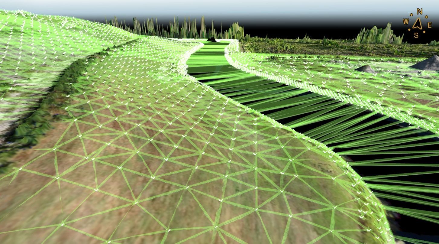
Aerial Metrology & Inspection provides boundary, tree, and topographic surveys that deliver the integrated site data you need to design responsibly, satisfy local preservation ordinances, and submit complete permit applications across Florida. If you are preparing a site plan for residential subdivision, commercial development, or institutional expansion, you need a single report that shows property corners, existing vegetation subject to protection rules, and contour lines that define drainage patterns and grading limits.
This survey combines three data sets into one coherent document. Boundary work establishes the legal limits of your parcel and identifies any encroachments or easements that constrain your design. Tree surveys locate and identify species of significant trees, providing the information municipal reviewers require to evaluate removal requests and mitigation plans. Topographic mapping captures elevations, existing structures, utilities, and surface features, giving your civil engineer the foundation needed to design grading, stormwater management, and site access.
Contact us for a survey quote that addresses the specific data your design team and permitting authority need to move forward.
Why Property Lines and Tree Locations Affect Every Site Decision
You begin with a boundary survey to confirm that the legal description in your title documents matches the physical reality on the ground. Surveyors set monuments at property corners and measure distances to existing fences, buildings, and pavement edges. Any gap between the recorded plat and the field measurements shows up in the survey report, allowing you to address disputes or encroachments before construction begins.
Tree surveys document the location, diameter, and species of trees that fall under local protection ordinances. Many Florida municipalities require permits to remove trees above a certain size or within designated conservation areas. Aerial Metrology & Inspection maps these trees and provides the data your arborist or landscape architect needs to prepare a removal and mitigation plan that satisfies the jurisdiction. Topographic contours and spot elevations inform stormwater calculations, showing your engineer where water will flow and where retention areas or swales should be placed to meet discharge limits.
The combined report eliminates the need to coordinate separate surveys from multiple vendors. You receive one drawing that your architect, engineer, and environmental consultant can all reference, reducing coordination errors and ensuring that every design decision accounts for legal boundaries, protected vegetation, and existing site conditions.
Common Questions About Integrated Site Surveys
Site survey requirements vary by municipality and project type, so here are answers to questions that arise frequently during the planning phase in Florida.
What defines a significant tree subject to local preservation rules in Florida?
Regulations vary by city and county, but most ordinances protect trees above a specified diameter measured at breast height, often starting at twelve inches for hardwoods and eighteen inches for pines.
How does a boundary survey prevent disputes with adjacent property owners?
The survey documents the recorded property lines and compares them to physical features such as fences or driveways, revealing encroachments that need resolution before you submit plans to the building department.
When should topographic data be collected relative to the start of design work?
Schedule the scan immediately after bolts are set and grouted, allowing the steel fabricator to confirm that base plate holes will align without field modifications or shims.
Why do permit reviewers require tree surveys for Florida development projects?
Many jurisdictions mandate tree inventories to enforce canopy preservation goals and calculate mitigation requirements when protected trees must be removed to accommodate construction.
What level of detail does Aerial Metrology & Inspection include in topographic mapping?
The survey captures elevations at intervals sufficient for contour generation, plus the location of buildings, pavement, utilities, fences, swales, and other site features that affect design and permitting decisions.
Aerial Metrology & Inspection delivers site survey data that supports confident design decisions and streamlined permit review. Reach out to discuss the specific boundary, tree, and topographic information your project requires.
