Turn Aerial Images Into Usable Data
Photogrammetry Services in Florida and Alabama
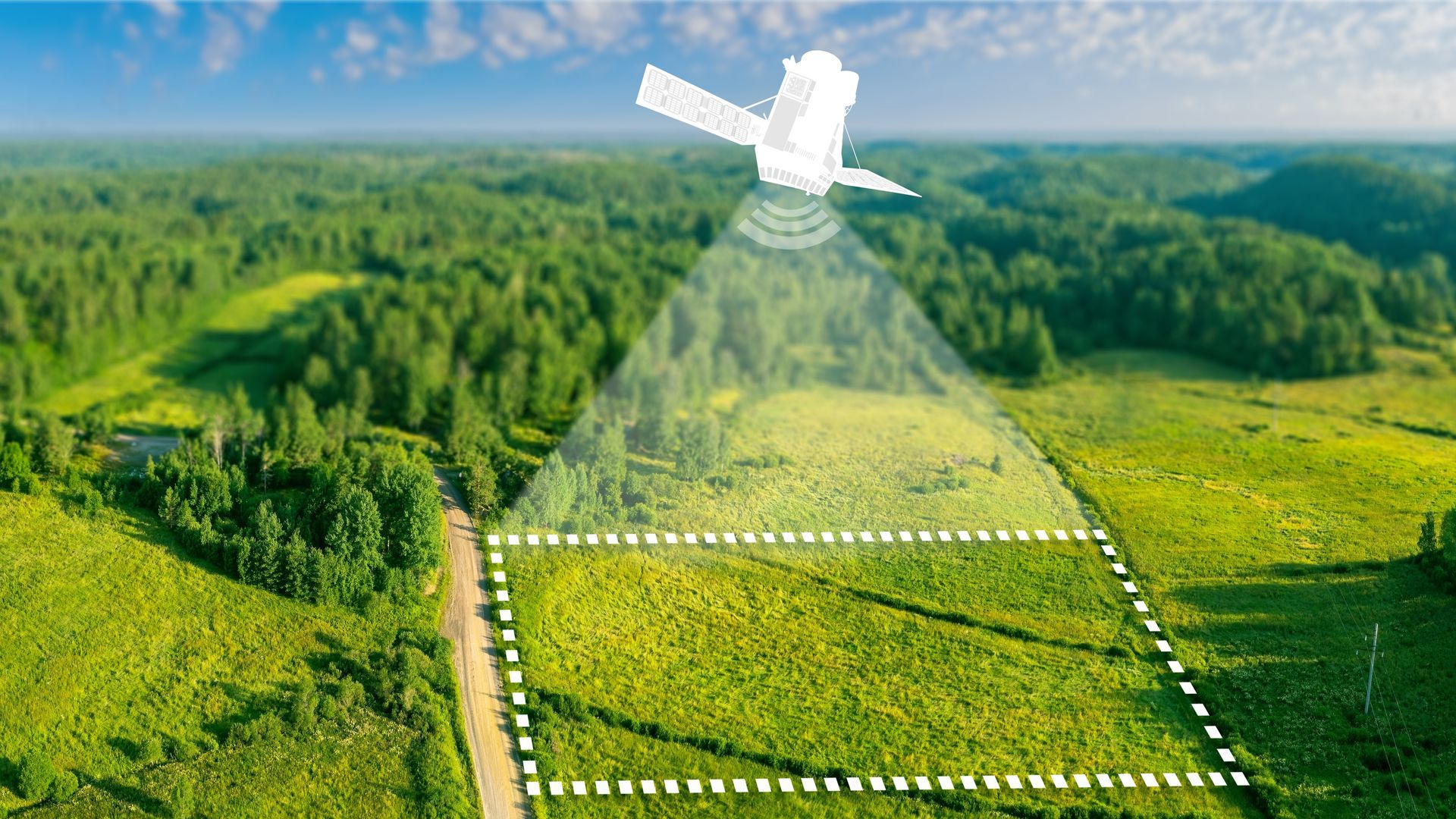
When you need visual documentation combined with accurate measurements, photogrammetry uses overlapping drone images to build orthomosaics and 3D surface models of your site in Jacksonville, Florida, and its surrounding areas, along with select locations in Alabama. You get high-resolution imagery that is georeferenced, meaning distances and elevations can be measured directly from the files. This method works well for flat or gently sloped sites where visual detail and spatial accuracy both matter.
Aerial Metrology & Inspection flies drones equipped with calibrated cameras over your property, capturing hundreds of images from multiple angles. Software processes these images into a single continuous report or a textured 3D model. You receive files that support site planning, volume calculations, and progress tracking. The visual data is clear enough to identify surface conditions, existing features, and to monitor progress on your site.
If your project in Jacksonville, Florida, or across Alabama requires both imagery and measurable data, contact us to confirm site access and flight conditions.
How the Data Gets Built
After the drone flight over your Jacksonville or Alabama site, the images are uploaded into photogrammetry software that identifies common points across each frame and calculates their position in space. You receive an orthomosaic, which is a flat, top-down map with uniform scale, and optionally a 3D mesh model that shows surface contours and structures. Processing time depends on site size and image count, but most projects are delivered within a week.
You will notice that the orthomosaic allows you to measure distances, areas, and angles without returning to the field. The 3D model lets you view the site from any perspective and calculate slope, elevation change, and volumetric data. Both outputs are compatible with CAD, GIS, and project management platforms.
This service works best in daylight with clear skies and minimal wind. It does not capture data beneath dense tree canopies or inside structures. If your site includes areas that are obstructed from above, terrestrial scanning or LiDAR may be needed to fill those gaps.
Concerns About Image Quality and Timing
Clients often ask how weather, site size, and output formats affect what they receive and how soon they can use the data.
What if I need a licensed survey?
We are fully licensed to provide all survey requirements in Florida. Florida Business License Number: LB8710.
Most sites under 100 acres are flown in under an hour. Larger sites or those requiring higher overlap for 3D modeling may take longer. Weather delays are possible depending on wind and cloud cover.
Aerial Metrology & Inspection schedules flights based on weather windows and site readiness in Jacksonville and surrounding areas. Get in touch to review your timeline, output needs, and any site-specific challenges.
