See the Building Before It's Built
3D Modeling and Visualization Services in Florida and Alabama
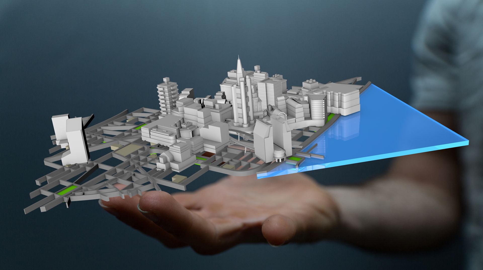
When you're working with an existing structure or a site that hasn't been fully documented, flat drawings and photos don't always tell the full story. A 3D model built from point cloud data gives you a complete, measurable representation of what's actually there. Aerial Metrology & Inspection converts data into BIM-compatible models that your design team in Jacksonville and surrounding areas, can use for coordination, planning, and visualization without guessing about dimensions or conditions.
This service takes scanned data from a building or site and turns it into a digital model that can be opened in Revit, AutoCAD, or other design platforms. The model reflects existing conditions, including structural elements, mechanical systems, walls, and openings. It's used for renovation projects, facility upgrades, tenant fit-outs, and design coordination when drawings don't match what's in the field.
If your project is located in Jacksonville, surrounding Florida communities, or select areas in Alabama needs a verified 3D reference, or if you're coordinating trades around existing infrastructure, reach out to discuss your documentation needs.
How Scanned Data Becomes a Usable Model
Modeling starts with point cloud data, which is a dense collection of measured points representing surfaces and objects in three-dimensional space. We process that data and build geometry around it—walls, floors, beams, ducts, piping, and other elements your team needs to see and measure. For projects in Jacksonville and surrounding areas, the model can include as much or as little detail as your scope requires, from basic massing to fully modeled mechanical systems.
Once the model is complete, your team can measure distances, check clearances, identify conflicts, and plan new work around what already exists. Clear visual communication helps contractors, architects, and engineers stay aligned without multiple site visits or conflicting interpretations of outdated drawings.
Models are delivered in formats compatible with your software, and we can include layers, views, or annotation as needed. This service does not include new design work or engineering analysis—it documents what's there so your team can make informed decisions moving forward.
Common Questions Before Getting Started
Most clients want to understand how the modeling process works and what they'll be able to do with the finished file.
What if I need a licensed survey?
We are fully licensed to provide all survey requirements in Florida. Florida Business License Number: LB8710.
If you're managing a project in Jacksonville and surrounding areas that depends on accurate documentation of existing conditions, Aerial Metrology & Inspection can deliver a 3D model that integrates with your design and construction workflow. Contact us to discuss your site and timeline.
